
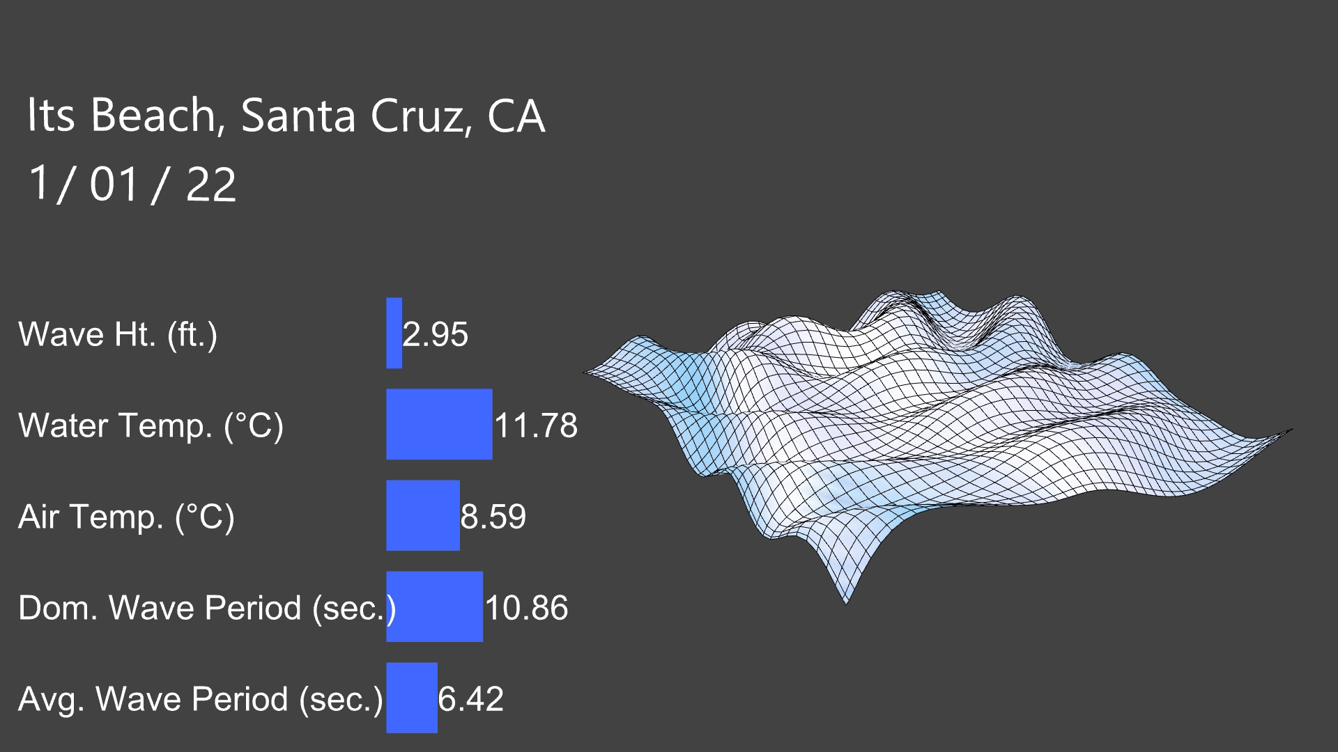
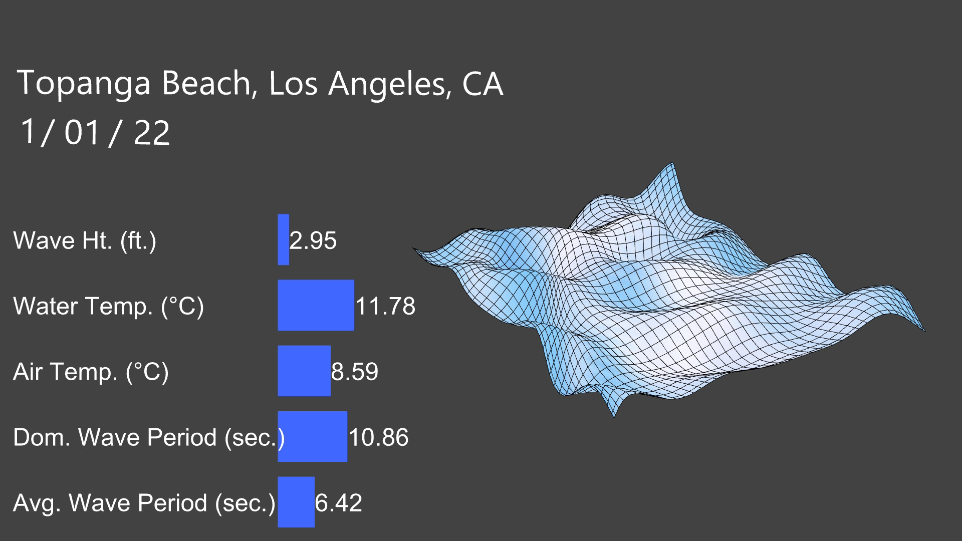
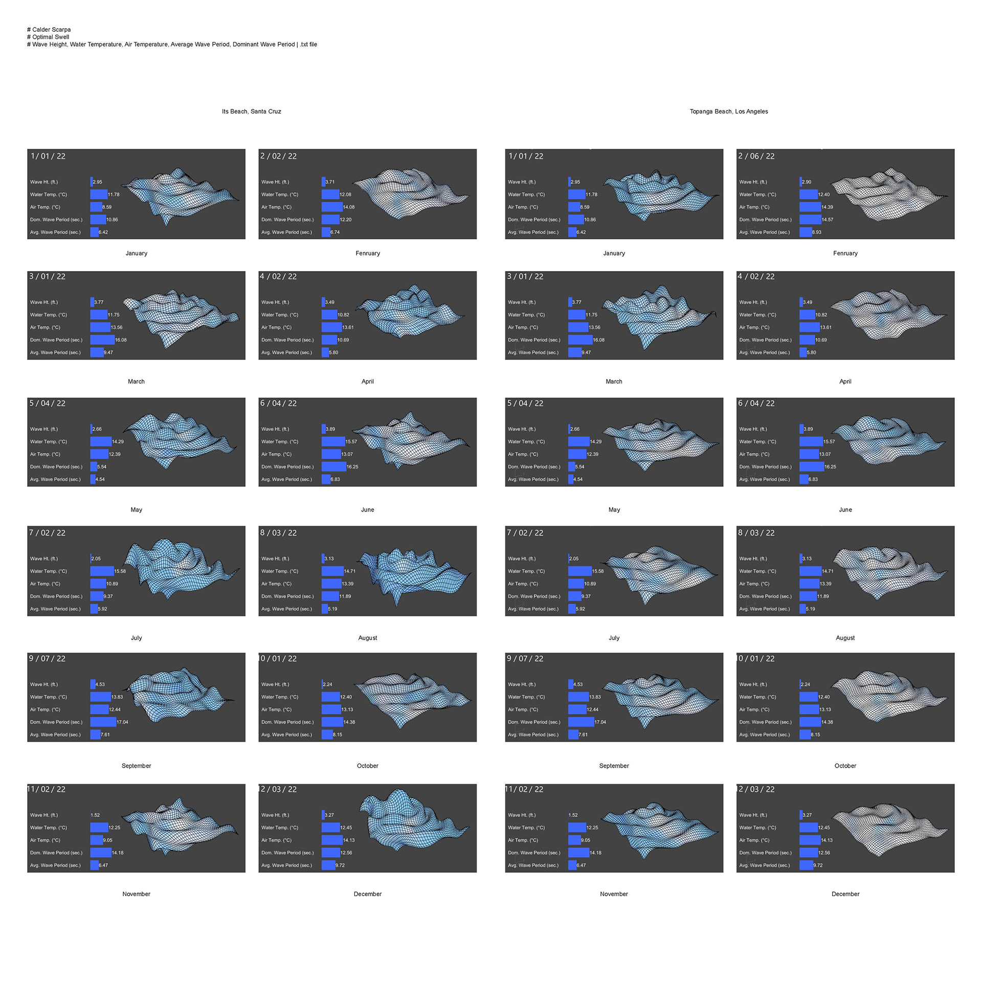
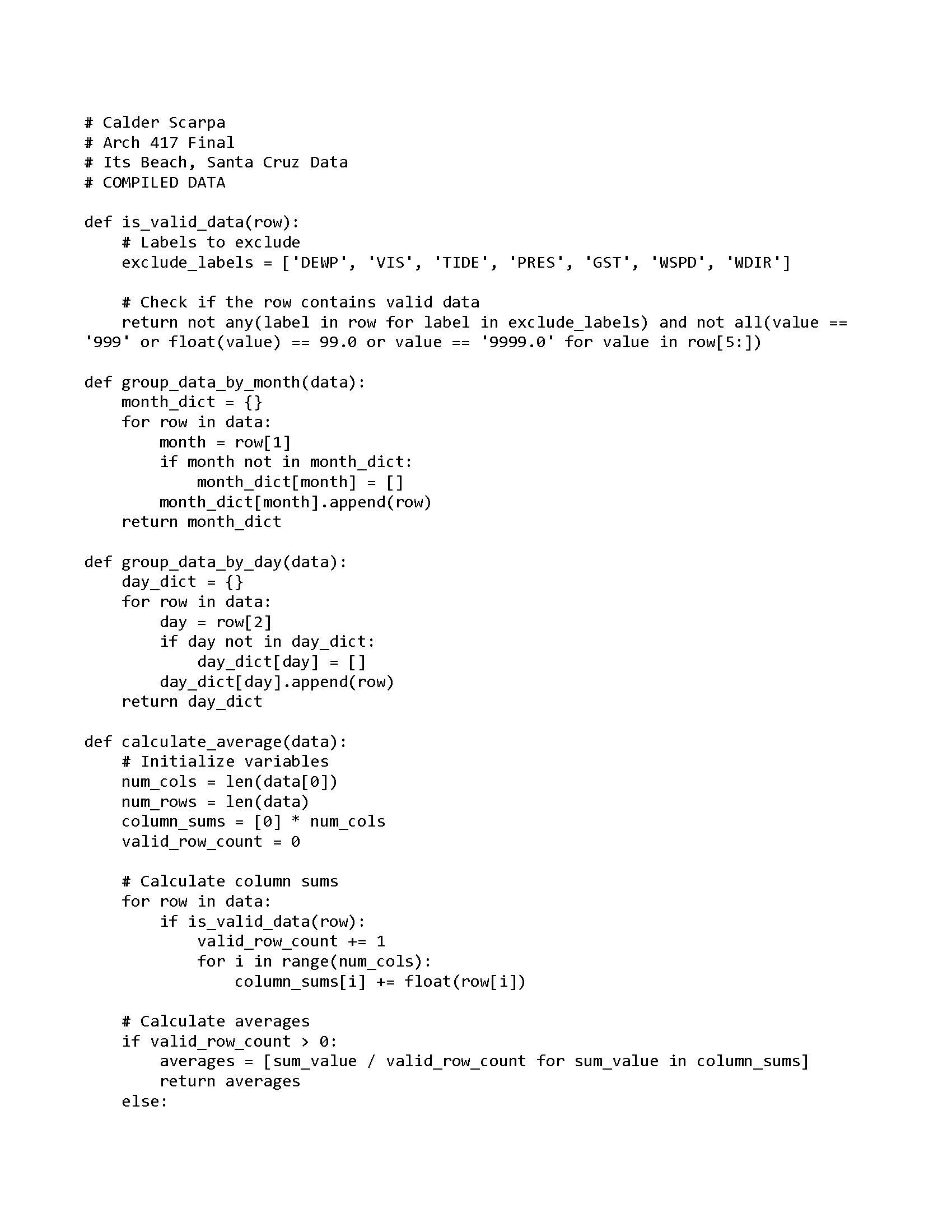
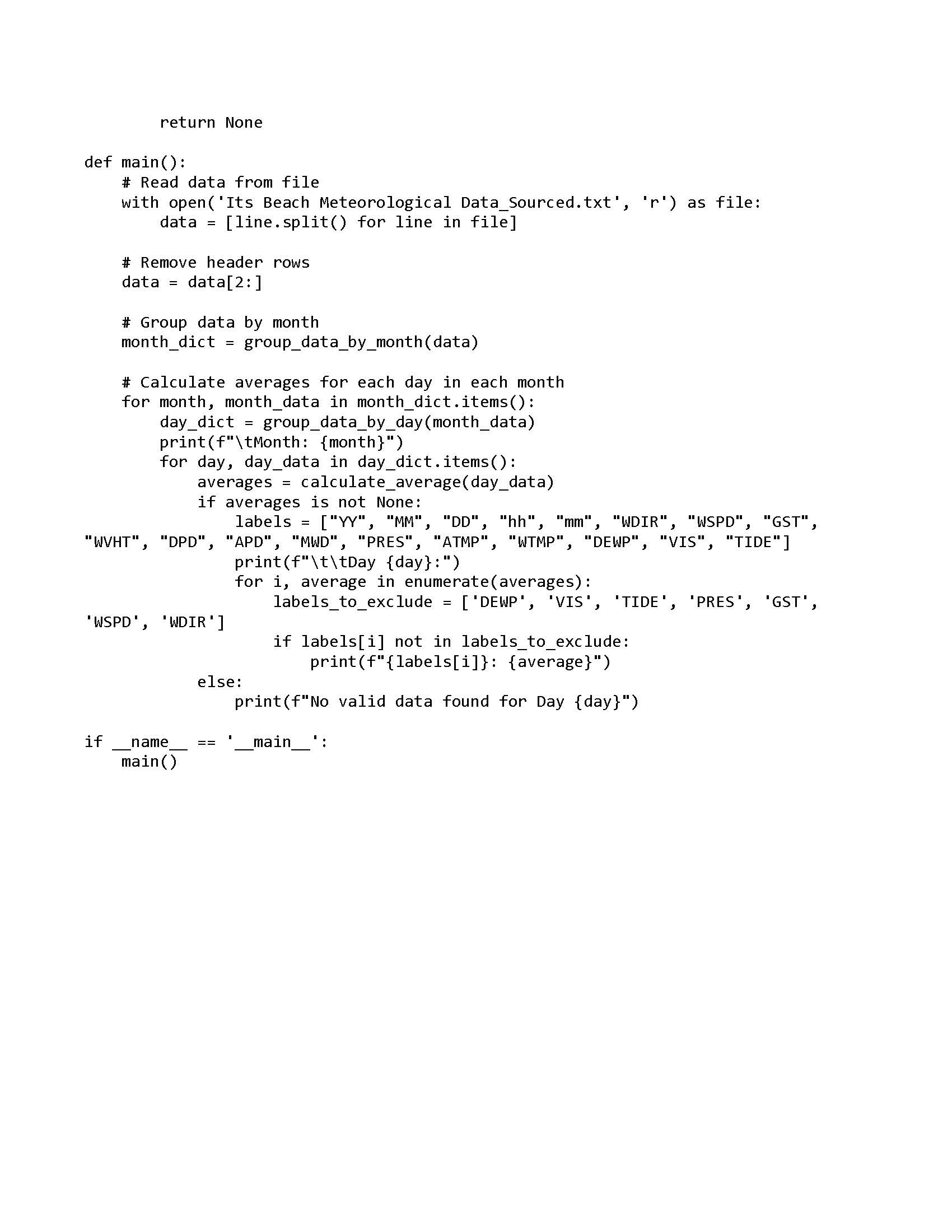

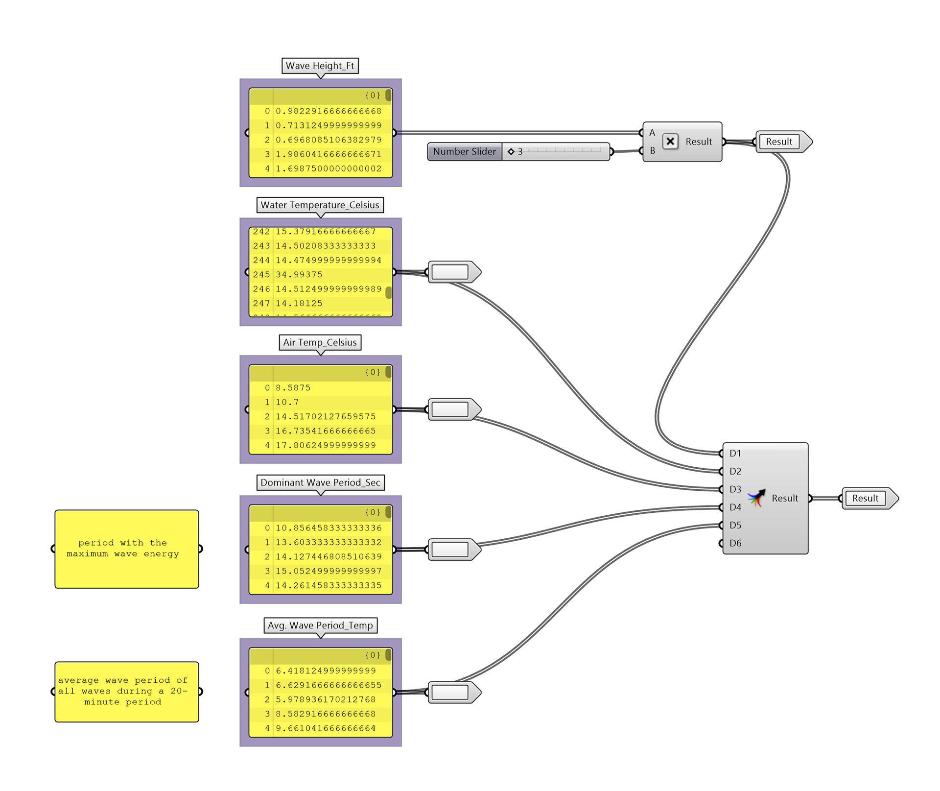
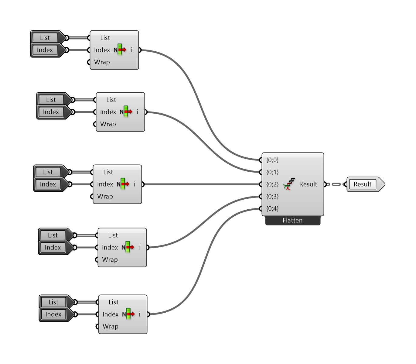
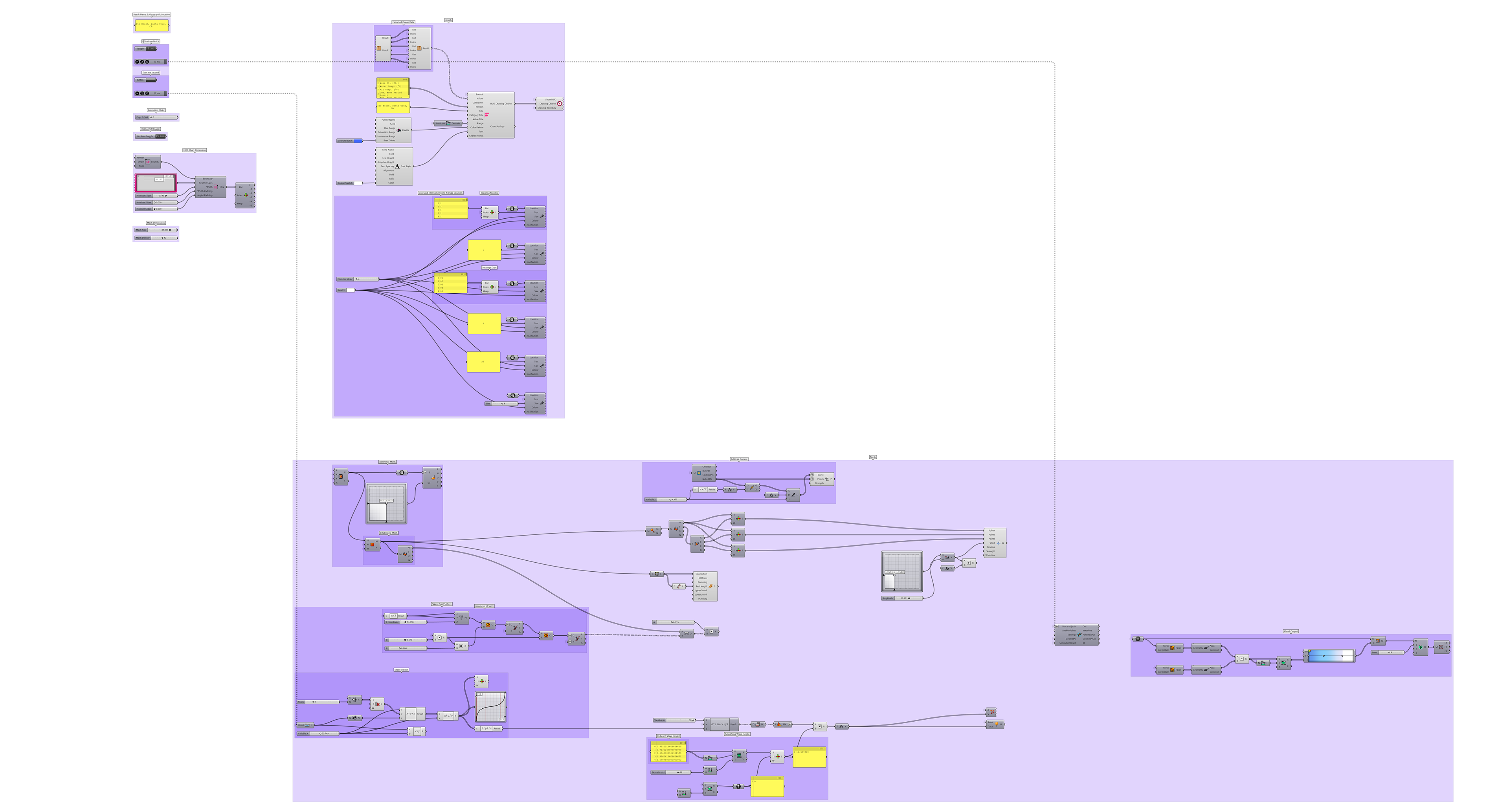
Made a real-time fluid simulation as my final project for my computation class using Python, Grasshopper, AI, and Rhino. I made this project because 1) I love surfing and I love the ocean and 2) because I was sick and tired of looking at 2d weather maps, or reading numbers on a screen to see how big the waves were, what the current was, etc, etc, when I wanted to surf. So I made a 3d animation that visualized what beach had the best surf in the year 2022. The animations and photos you see below represent a piece of the ocean water at two different locations (labeled below). The wave/mesh is meant to visualize the peak wave height of each day in the year 2022 at these beaches. The future vision for this project is to create a website/app that shows you these animations in real-time, for any beach you want to know about. Scroll to see everything I made!


